Sunday, October 18, 2015

Pangani: Maziwe Island

Looking out as the tide comes in. 
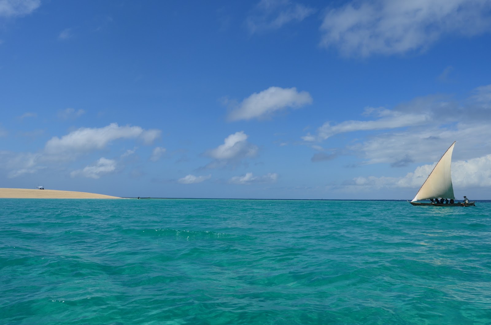
One of our friends recommended snorkeling at an island about 8km offshore from Pangani at a place called Maziwe Island. Maziwe Island is a marine reserve but it has been poorly managed until a few years ago. It is a tiny island with nothing but sand and some rock, though there is a very healthy group of coral and fish on the east side of the island.

Our friend had given us the number for Kasa Divers and we tried to arrange an outing. The person in charge wrote us saying she wanted to go out the next day, which we said we couldn't. I said we would like to go out the following day and she said that was fine. The next day she emailed and said maybe she would have to go to town and possibly couldn't go. I asked her to confirm either way so I could arrange it with someone else. I was really worried as I had been looking forward to the trip and I was disappointed Kasa Divers couldn't give me an answer within 24 hours of wanting to go.

As I lost faith in Kasa Divers, I decided to go to Pangani to check out if there were any other operators. I stopped at a hotel between where we were staying and Pangani and saw some flyers on the wall. I took a number and called a tour operator though the person I reached was apparently based in Moshi. He said he would call the guy in Pangani and see what he could do. The whole thing began to seem like it would never happen and even worse, when we reached Pangani we realized it was a tiny town with not a lot of tourism happening, hence operators numbers in Moshi being posted on the walls of local hotels. We pulled up to the ferry, for no reason other than it was naturally the most bustling point in town and I called the guy back asking him to send me the operators number. He said his name was Emmanuel.

Just like that, a gentlemen appeared at my window. "Are you looking for Emmanuel, the tour operator? I am him". I couldn't believe it and he jumped in the car to go to his office. Now, Emmanuel was certainly helpful but I would describe him as a bit of a character. He said we could arrange the trip for the next day at a bit cheaper than the previous place had quoted me. We worked out the particulars and a meeting time, paid a deposit and went our way.

I was happy to support a local tourism initiative, though I am certainly aware at how poorly managed these programs can be. So I was absolutely pleasantly surprised when I found out that everything was on time, we had a motorized craft with an extra engine, and it was covered. The covering was especially helpful after our debacle in Kilombero River. We made our way out to the ocean, enjoying the cool sea breeze and passing local dhows with fishermen.

After about 45 minutes we passed another group heading to the island. They were riding with a sail powered dhow, and it looked like they were having some issues with wind. We chatted with their captain and then agreed to help town them the rest of the way. It took us about an hour to reach the island and apparently by dhow it takes 2-2.5. Certainly the dhows are attractive and a bit romantic, but in the end it appears that passengers spend most their day roasting in the sun on the way to the island.

When we reached the island the guides created a temporary shelter with the sail of the dhow. It was enough to provide a little shade, though we immediately plunged in with the snorkeling. Our boat had about four pairs of snorkel gear, all in varying states of decomposition. I opted for flippers a bit too large for me, though the fin was not disintegrated like the other pair I was eyeing up.

The snorkeling was fantastic, with some rich coral and abundance of fish. We took a break, had some lunch, and dove in again. A variety of seabirds were also perched on the island and as the tide came in, we all got a bit more crowded on the island, until our captain signaled it was time to go.

In the end, I was happy to have taken the "local team" and quite enjoyed the island. It was a bit expensive but the setting was something off a postcard and the snorkeling added an activity beyond just laying on the beach. My only advice is, bring lots of sunscreen!

The dhow at port. 

The local dhow, heading in. 

Awesome crab on the beach. 

Crazy crab with algae camouflage. 

Yeah, the water was pretty blue. 


Tanga Coast: Camping and Resort

Prime camping spot.
After two years, we finally made it to the Tanga coast. Although it appears close on the map, it is about a 6 1/2 hour drive from Moshi. We weren't sure what to expect and the internet seemed to have sparse information regarding places to stay on the Tanga coast. Our friends in Tanzania have all given us varying accounts of different places as well, so we just hoped we could find a nice place we could camp, swim, and do some snorkeling.

We found our way to a place called Peponi Resort, which was about 45 minutes south of Tanga and 15 minutes north of Pangani. Peponi was fantastic, very spacious with a variety of accommodation for all price points (self camp, rent tent, safari tent, banda). They had a restaurant with a large menu that was affordable and delicious. Fresh sea food every meal!

The vibe was very relaxed and most of the guests appeared to be, like us, expats living in Tanzania. The place was extremely family friendly though there were also some younger couples like ourselves as well. The resort had a SE Asia style with a "backpacker" vibe, ample seating for various group sizes, and a very friendly and competent staff.

The tide was dramatic; I estimated that it went out nearly 200m (650 ft) and it occurred twice a day. The beach was nice, though it wasn't postcard blue like most people like, and for us, since we are birders, the tide was perfect for attracting waders and shorebirds. As a result of not having the same type of pristine beaches as Zanzibar, I can see how tourism in Tanga is a niche market.

There were also mangrove forests along the coast. We enjoyed walking through them at low tide and we thought to kayak through them but decided the winds were a bit more than we would have liked, especially after a long walk in the hot sun in the morning.

We stayed at Peponi for a few days and used it as our base for activities in the area. It was so laid back that we can't wait to go again!
Awesome little sitting area to watch the sea.

Sunrise over the Indian Ocean.


Our tent with a mini covering, which was very nice since it rained the first night.

Ana taking a walk in the mangroves.

There was a very weird green river on the way to Pangani.

I think they accidentally gave me the seafood plate for two, instead of half order. Whatever the case, it was amazing.

Low tide...and still going out!
Breakfast, which for westerners might seem "okay", but for us, it is luxury.


South Pare Mountains: Chome

Climbing up the mountain.
We are massive fans of hiking the Eastern Arc Mountains (North Pares, West Usamabaras, East Usambaras, Uduzungwa) and the last remaining patch to explore in our area was the South Pares. We met a friend in Moshi and turns out him and his wife are living up in the mountains, about 2 hours from the main road in a small picturesque village called Chome. On our way to the coast, we decided to branch off and see them as they had said a hike to the highest peak in the South Pares could easily be done from their house.

View of Chome's flat area.
The drive up the mountain was beautiful offering a view of the plains to the west, and cloud covered mountains to the east. Chome sits in a plateu of sorts in between two different ridges of mountains, and a particularly picturesque scene occurs when the flat area is filled with green maize and potato leaves.

Our friend told us to prepare for rain, but we were lucky that it neither rained, nor was extremely cloudy and cold on the mountain. He had a troop of local kids that joined us on the hike, which we started at around 9:30. The hike initially scaled a ridge, and then through a flatter area where there were eucalyptus trees recently burned out by a fire. We were informed that this large fire was likely caused by honey farmers whom have the unfortunate habit of sometimes lighting an entire tree on fire just to extract the honey.

It was interesting to hear the narration from our friend as he'd been living up there for the past year and a half. Illegal bauxite and gold mining, failed irrigation projects, rumors of feral and dangerous cows...it was great to have some background on the area and he had obviously done this hike many times and knew the surrounding landscape.

After the burnt eucalyptus there was a stretch of shrubs and short vegetation, likely deforested areas growing back in a strange way. The edge of the forest was abrupt and upon entrance we were suddenly surrounded by dense forest, complete with some blue monkeys in the trees. An old irrigation system from around the 70s was built in and we followed it to a stream to refill on water. We then began the real ascent and the trail became dramatically steeper. We pushed on until about 1:00 when we reached the summit. Because there is another ridge to the west, the peak didn't offer the same spectacular views as other parts of the Eastern Arc, but it was a treat to watch the clouds roll through.

We enjoyed a lunch at the dilapidated "picnic area" which was no more than a few rotting boards nailed together to create makeshift benches. There was a strange large structure at the peak that looked to be four stories high, but there were no stairs or ladders built in. A wooden sign with fading paint read "UNDP tourism development", which obviously hadn't spurred tourism as they had wanted (our friend said he's never seen anyone else on the trail).

The hike down was a lot quicker than the hike up and we were all thankful the rain held off. We decided we had to return another time to do a bird census and maybe explore some more of the forest. Because it takes so long and it is so steep, perhaps we have to do a camping expedition?

Shengena Peak. You can see where the deforestation abruptly stops and gives way to new forest.


Walking through a cloud.

On the trail, very green!

The peak!  2,462 m (8,077 ft)

A view of the peak with red earth.

On our way down.

Short vegetation dominated a part of the walk.

Everyone loves climbing under a fallen tree covered in moss and lichen.

The ridgeline had short and windswept trees.

Moss and lichen covered the very wet upper trees.

We stopped to refill some water up here.

An interesting fresh water crab. A lot of endemic species of plants and animals, wouldn't be surprised if this guy was ONLY in this water.

Lake Chala IV

View from the east looking west of the lake.
We used to love Lake Chala (Trip I, Trip II, Trip III), but since the introduction of a government fee in 2014, we haven't returned. It's a funny situation as the area is privately owned (and has been for some years), yet the government feels entitled to collect a "conservation fee" from guests. The branch of the government that collects is not the same one as the national parks and thus there is no reduced resident rate; all foreign guests pay $25 USD. The actual Lake Chala camp has a very reasonable and quite cheap entrance fee and before the government fee it was about $15 for two of us to camp for the night. Now it's closer to $70, which has reduced the return visits to zero.

It had been over a year since we went and we did miss the camping. It has the best camping closest to Moshi and the large area of undisturbed land allows for long hikes and stunning vistas. We finally decided to return and as usual, had a wonderful time.

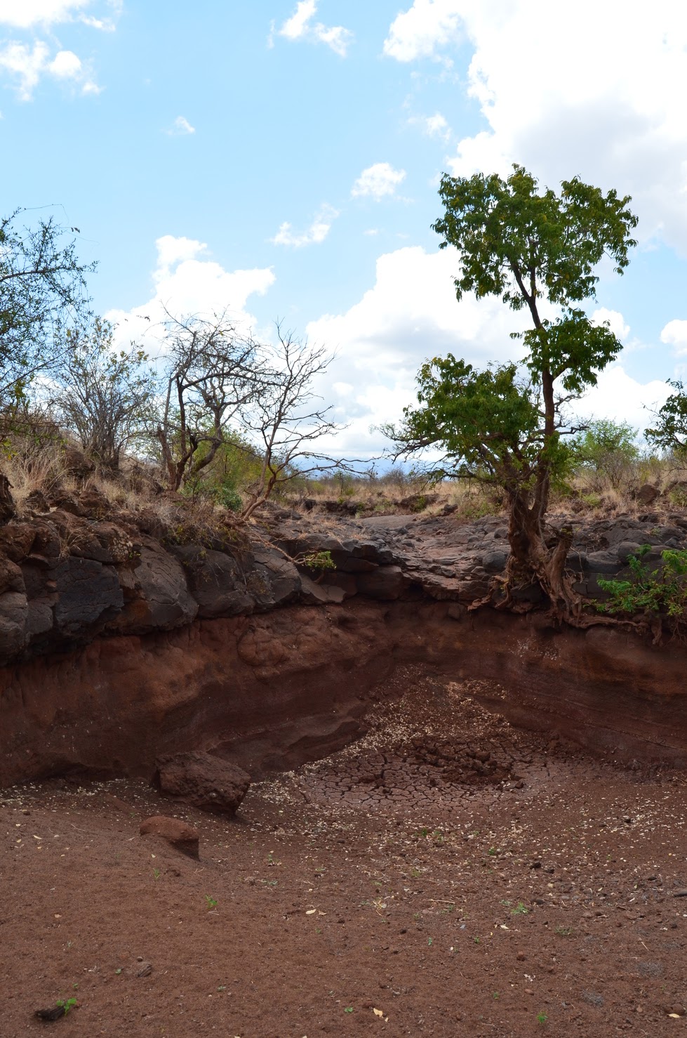
We enjoy taking the walk along a dry river bed (filled during flash floods) though there weren't any pools remaining which normally attract birds and other wildlife. The riverbed leads to a small crater, a perfect spot to hang your feet off the edge and look within the crater for wildlife.

Acacia scrub is a nice habitat for hiking because there always seems to be a place you can blaze your own trail, though you have to be careful to not box yourself into a thorny area. For the less adventurous, there are numerous small trails throughout the property, including one down to the lake where there is a small pier for swimming.

Although we enjoyed our stay, the cost of the park is a bit more than we would like to spend. I wouldn't mind if I felt the money was truly going towards conservation, but from what I have heard from people involved, it is not. It's unfortunate as it would likely have been a monthly camping spot (well, at one point it was, however short lived) but now it will be an occasional treat.
Dried up pool.

Walking along the river. It was a VERY hot day.

View of the plains.

Sitting on top of the crater rim.


Down by the lake.

We saw two nightjars on a nightwalk, this one a Donaldson-Smiths.

We also saw a grasshopper that was as big as my hand.

Here's another nightjar, the Squaretailed.


Sunday, September 27, 2015

TPC: Birding in the area

Ana checking out some birds
Just south of Moshi is a massive sugar plantation, Tanganyika Planting Company, more commonly known as TPC. It has over 8,000 ha (20,000 acres) of sugar cane though the area of land it manages is so large that multiple villages are within the vast expanse. There are also fallow patches and a river that runs along the west border, which allows for some pretty decent birding and short hikes.

It only takes about a half hour to reach TPC and although it has taken us some time to identify the good spots for hikes and birdwatching, now that we know it is a very accessible "quick" place to get out of town for a bit. The staff of TPC seem to have no problem with people wandering around and the fallow areas have the typical dry acacia scrub found in the surrounding area.

TPC also has a "club" which as quite excellent food, a golf course, and a "river house", which can be rented. Many of the amenities are in place for foreign staff as it is far enough outside of town that people prefer it to be it's own little city. In fact, it runs almost like it's own country with a hospital and public services (electricity, water) funded through various projects to ensure the company has a positive impact on the surrounding communities.

A big cut root.

Monday, September 21, 2015

Nyumba ya Mungu: Part IV

It's been a while, so this weekend I was excited to return to the man made lake, Nyumba ya Mungu (Trip I, Trip II, Trip III). The last time we went it was extremely wet and now it was extremely dry. This meant we had to gear up in our sun-proof outfits, put on the sunscreen, and get out early. 

The drive to Nyumba ya Mungu is a love hate relationship for me. My motorcycle is not built for the sandy road but I am well versed in driving 150cc off brand SE Asian motorcycles in a variety of terrains.  I mostly enjoy the concentration and challenge of the road, but inevitably the end of the day leaves me exhausted. I actually prefer the motorcycle over the car as there is very little chance that the motorcycle gets stuck and it can maneuver through areas too small for a car. The road is about a 45 minute ride on a paved road, and then an hour or so through sandy, dry, and arid landscapes.

Part of the reason I enjoy the ride is the landscape. The semi-arid acacia scrub is typical of the northeast of Tanzania, though an appreciation for it is perhaps lost as a result of more exotic landscapes like Mt. Kilimanjaro, the Pare mountains, and various lakes in the area. Still, if you can brave the heat, the acacia scrub has a beauty to it, especially when it's a clear day and the aforementioned mountains are in view.

It helps that we are avid birdwatchers and we constantly stop to view some birds and have a walk. It usually takes us 3-4 hours to reach Nyumba ya Mungu, at which point the area is so hot that we can only walk around for an hour or two before we are roasted.

We enjoyed the journey and the most notable incident occurred when we passed a group of cyclists we I can only assume were on some sort of competitive bike tour. They all had number plates, dressed like serious cyclists, and had very nice mountain bikes. I couldn't imagine how awful it was to cycle through all that sand through the heat but I cheerfully gave them a "honk" greeting when we passed. On our way back home we saw them in Moshi and it certainly gave me some perspective when I wanted to complain of being tired!
Dry and dusty road.

Classic acacia scrub.

Lots of dry river beds, likely flash flood created.

Ana and I find some shade.

VERY sandy roads on the way there.


Nyumba ya Mungu lake.

Getting stuck behind a truck results in a big dusting!

I'm all protected from the sun, though it still exhausts me.

Sunday, September 13, 2015

Moshi Rice Fields

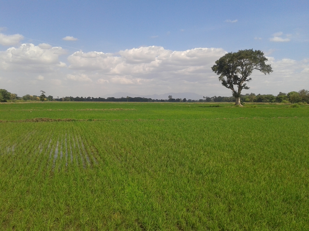
Rice. Water. Sky. A tree.
We had been hearing of some rice fields to the east and south of Moshi for some time, though no one seemed to know exactly how to get there. I once received advice to cut through Rau Forest, but that trip was not very successful due to the road being impassable with our vehicle.

We finally cleared a Sunday to try to reach the fields. We didn't know exactly where to go but we guessed on the highest possibility of rice fields from satellite images on GoogleMaps.

After some very dusty roads we did finally reach the rice fields. The area was very scenic with a much different feel than the dry and arid savanna that dominates the landscape around Moshi. Palm trees dotted the landscape and the vibrant green of the rice mixed with the waters reflection of the sky created a calming landscape. The area appeared to be using naturally fed water (the fields were along the Rau River, which ultimately receives its water from Mt. Kilimanjaro) and it also bordered the Rau Forest, which provided a nice backdrop.

Although it was hot, we still go out for a short walk and there were numerous birds, not such a variety of species but many fish loving birds such as egrets and herons. We walked a bit to the border of the forest and there seemed to be a network of trails, likely used for non-timber (or timber) forest product extraction.

There were a few workers in the fields and others that were collecting water in jars. We saw a young guy with no shoes and rather rough looking with a slingshot and we asked him if he was hunting. He said that he used it to scare off the monkeys when they were raiding the crops, which is a believable excuse. Ana thought he was hunting birds and we both felt a bit better after the conversation. However, later we ran into him again and he was definitely shooting rocks at Crowned Hornbills. I called over to him and told him that he lied to me and he came over to chat. I asked him if he was eating them or if he sold them also. He said he hunted them because he was hungry and he would eat them himself. He begged me for some money, which I politely declined.

It was an interesting interaction and one that has happened to me many times before in developing countries. It's obvious that many of the inhabitants from the surrounding areas of forests and protected areas rely on the forests with little alternative. I feel for the guy and as I write out the story I realize how cold I might sound by not giving him money. It's something I learned a while ago; money isn't food, money is convertible. It also doesn't change behavior, at least how one might intend. If I would have given him money he could have spent it on food, or beer. He could have gone home or he could have seen another hornbill shortly after and killed it. He could be content or he could pick up the bad habit of begging. I think throwing some money at him would have assuaged some type of guilt of sympathy but it doesn't solve the real problem, which is frustrating because I am not directly involved in the types of things that need to be done but as with every social ill, I have to pick my battles I fight directly and just make sure I contemplate my decisions and their indirect effects to ensure I minimize the inevitable guilt that I would feel every time I am confronted with the striking imbalance of people's lives in the world.


Reflection of the sky.

A pretty cool dragon fly.

More water/sky action.

Rau Forest in the background.